Crop pest & disease early-warning platform
Field camera snapshots and pest-trap counts are analyzed by vision AI to track infestation trends and push tiered alerts to agronomists’ phones in under 10 seconds.
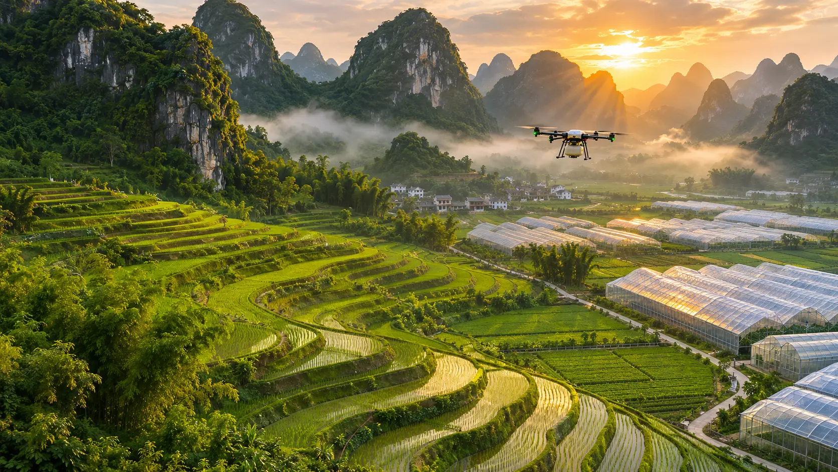
Solar low-power field sensors, automated fertigation control, computer-vision pest/disease detection and 3D digital twins: end-to-end hardware-and-software systems for plantations, modern agricultural parks and research institutes.
Core Capabilities
Continuous sensing of soil volumetric moisture, temperature, EC, pH and NPK alongside air temperature, humidity, PAR light and CO₂—networked over Sub-1GHz LoRa and solar powered.
Irrigation schedules computed from soil moisture thresholds, crop evapotranspiration models and weather forecasts—saving 25%–40% water and fertilizer with remote phone control.
Field cameras and smartphone photos identify rice, citrus and vegetable pests/diseases (>90% field accuracy), while smart pest-trap lamps count insects automatically and issue tiered alerts.
Chassis motion control, RTK + visual fusion navigation and path planning for greenhouse inspection, targeted spraying and harvest-assist robots.
Plots, sensor telemetry, valves and crop growth rendered live in a 3D digital twin with full traceability of inputs and harvests.
Interactive Demonstration
Production Implementations
Field camera snapshots and pest-trap counts are analyzed by vision AI to track infestation trends and push tiered alerts to agronomists’ phones in under 10 seconds.
Automated closed-loop control of shade screens, vents, fans, wet walls and drip fertigation EC/pH by crop growth stage, reducing manual inspection labor by 70%.
Autonomous robots patrol planned routes capturing canopy imagery and microclimate telemetry, synced live to the park’s 3D digital twin.
Industry Deployment FAQ
Our custom sensor terminals draw <5 μA in deep sleep and run on solar + LiFePO4 batteries with >30 days of rainy-weather autonomy. Nodes form a self-healing Sub-1GHz LoRaWAN mesh (3–5 km radius per gateway) that aggregates data to a high-ground 4G/satellite uplink.
Yes. Alongside our baseline agricultural vision models, we perform rapid few-shot fine-tuning on local field imagery—achieving >90% field recognition accuracy on regional threats such as citrus greening/spider mites, rice blast, and planthoppers.
Every embedded valve controller runs local hardware watchdog timers and quantitative flow/duration limits in firmware. Even if cloud connectivity drops completely, the local MCU automatically closes the valve once the target water volume or safety timeout is reached.